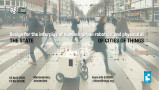
What opportunities for social cohesion do cities provide?
Is your neighbourhood park frequented by a homogenous or diverse mix of people? How many hashtag#amenities can you reach within a short hashtag#walking distance? And do you often encounter people from different walks of life?
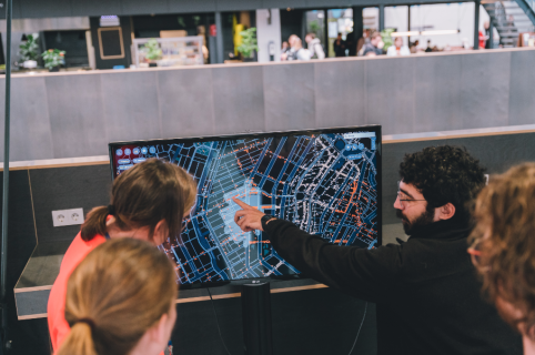
I am very excited to introduce to you CTwalk Map, a web tool that seeks to highlight the social cohesion potential of neighbourhoods while also unmasking local access hashtag#inequities. CTwalk maps opportunities that different age groups can reach within a 5 or 15-minute walk.
🚶♀️🚶♂️ It uses granular population, location, and pedestrian network data from open sources to estimate how many children, adults, and elderly hashtag#citizens can reach various destinations in a city within a short walk.
🌐 It offers a simple and straightforward understanding of how the 5 and 15-minute walking environments are shaped by the street network.
➗ It estimates the degree of pedestrian co-accessibility of various hashtag#city destinations.
CTwalk Map is now available for the five largest cities in The Netherlands.
Take a look at the web tool:
https://miliasv.github.io/CTwalkMap/?city=amsterdam
... learn more about CTwalk Map at this link:
[currently does not support mobile phones or tablets]
...and let us know what you think!