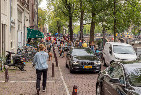
Code the Streets is a European urban mobility project that explores digital solutions to improve mobility and public space management of the future. Public and private partners from Amsterdam and Helsinki set out to answer the question: “How can cities share information with service providers on the desired use of public space and stimulate drivers to choose the most ‘social’ route?”
As metropolitan areas continue to grow, so do traffic related issues such as congestion, safety concerns, air pollution, and pressure on fragile infrastructure. In a world of digitalisation, climate change and increased awareness of the social and ecological environment, cities are faced with the challenge of finding better ways to manage urban mobility and their public spaces.
Code the Streets supports cities with this challenge by creating a basis for new digital mobility management tools and by showcasing the benefits of collaboration between the public and private sectors. Instead of just using road signs - a traditional way to direct traffic - this collaboration gives cities the opportunity to communicate with drivers through service providers. By adding data about school zones, congestion, and pollution to an existing navigation app, cities can stimulate car users to choose an alternative, and more ‘social’ route. One that is aligned with the city’s values such as safety, accessibility, liveability, and sustainability.
During the months of September and October, the Code the Streets team will run pilot programs testing the application in Amsterdam and Helsinki. Interested in trying the app? Android users can sign up here.
For more information about the pilot and the outcomes visit www.codethestreets.eu
Code the Streets is a collaboration between Aalto University, Amsterdam Institute for Advanced Metropolitan Solutions (AMS Institute), City of Amsterdam, City of Helsinki, Forum Virium Helsinki, Technical University Delft, TomTom, Mercedes-Benz and The Future Mobility Network, with support from EIT Urban Mobility.


