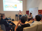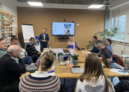
Following the Data Dilemmas event in October, which focused on underground infrastructure, this deep dive session delved further into the question: How can we look under the ground without digging? The session began with an introduction by Alliander, followed by additional insights from Port of Amsterdam, Eurofiber, City of Amsterdam, and Stedin. After exploring the issue, various parties pitched their solutions.
The problem of Alliander
Alliander is anticipating a significant workload in the next 2-10 years, requiring a lot of resources (personnel, materials, and services). We are transitioning away from gas, which means that many gas connections have to be removed. Currently, Alliander is removing around 12,000 connections per year, this is expected to increase to around 100,000 in 2030.
The primary challenge in the removal process is locating the gas line. Due to missing or outdated drawings, ground subsidence, or discrepancies between installation and location, they are often difficult to locate. This leads to time-consuming and costly excavation and often excavation damage.
Alliander employs several search methods to locate the gas lines:
- Probe: This is a probe that can be entered via the main gas valve, with a transmitter so that you can trace it from the outside.
- Gas camera: Attached to the probe to see where the gas connections are.
- Ground penetrating radar (GPR): Sonar scan of the ground.
- Chenny: Similar to probe.
- Frequency on metal tubes: For metal pipes, you can set a frequency on the pipe that can be detected.
- Ultra-sonic: By putting a sound signal on the pipe you can register the vibrating gas molecules with a microphone.
These techniques are not always sufficient and come with many drawbacks. This is why Alliander is seeking a better way for technicians to know where to dig without opening the ground.
Additional Insights
Additional insights from various stakeholders highlight common challenges related to underground infrastructure. The main problem is that the data of the underground is not the same as the real-time situation. This leads to scanning methods being necessary in the first place.
The data which is documented is also lacking because it doesn’t show things such as ground pollution, and the z-coordinate (depth) is also missing. There is potential for improvement since most parties have better databases of their own assets. This data is unfortunately not shared since it is not required by KLIC (Information and Coordination Center for Underground Infrastructure).
Solution Pitches
1. SpectroAG – Hamed Mehdipoor: Combines GPR, electromagnetic wave emission, robots, and drones to scan large ground areas in high resolution. The data is analyzed by an AI Brain Cloud, providing a 3D representation of asset locations. Challenges may arise in areas with clay ground, since this is always a problem with GPR.
2. Inframent – Marina Kurnevich: A startup addressing asset registration issues. Their solution involves taking photos of open trenches with a smartphone or tablet, instantly uploading them to their application, and adding location data. This ensures immediate and accurate registration of underground data.
3. Infratags – Henk Schwietert (Evalan): Their passive (no battery) RFID tags (Infratags) can be attached to cables and connection sleeves, allowing easy identification above ground using a scanner. The low-cost tags, around 50 cents each, can easily help find tagged assets. However, challenges include conflicting interests and delayed returns on investment. The Infratag was developed in collaboration with Tallo.
4. HvA Sensorlab - Marcel van der Horst: While not offering a direct solution, HvA Sensorlab has students capable of working on the problem. They have access to advanced equipment for developing or improving solutions.
5. VLabs – Diemer Cohen Stuart: Uses GIS data and Augmented Reality (AR) to visualize accurate geodata through AR glasses. This simplifies operational work, improves quality control, and allows for on-site guidance with work instructions. The glasses provide 5-10 cm accuracy, with a cost of 8500 euros per pair.
Are you interested in any of these solutions, would you like more information, or do you have an even better solution? Please don’t hesitate to reach out to Noor – noor@amsterdamsmartcity.com, or leave a comment below. We will continue with this topic in 2024!